Maps
- kapochunas
- Jan 29, 2021
- 1 min read
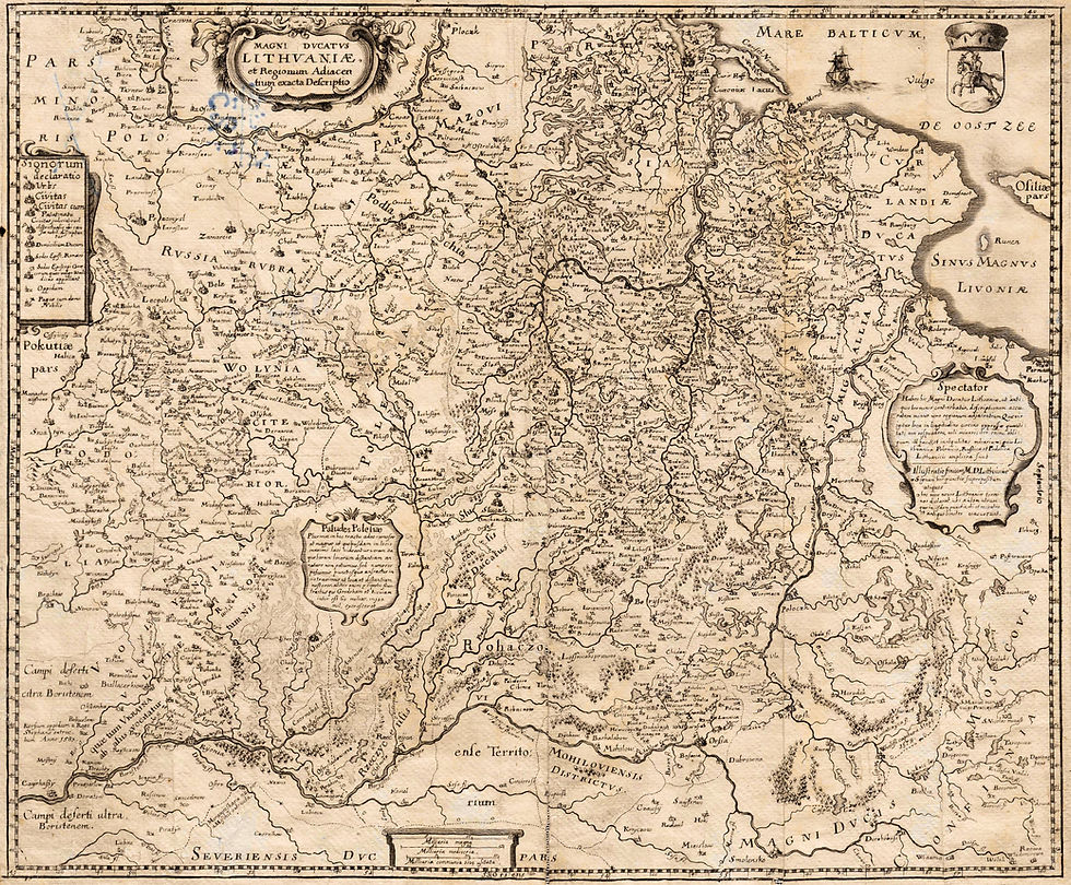
Beginning April 1, this page will have newly discovered maps of the historic Lithuania area. Until then, if you're a map-maven like I am, check out my site LithuanianMaps.com, with over 4,000 images of antique maps of the historic area of the Polish-Lithuanian Commonwealth. Meanwhile, here's my all-time favorite map, which I am proud to own: dated 1613, but published for decades later, in one form or another: Hessel Gerritsz (engraver) - Willem Blaeu (mapmaker/publisher): "MAGNI DVCATVS LITHVANIAE"

"


Comments