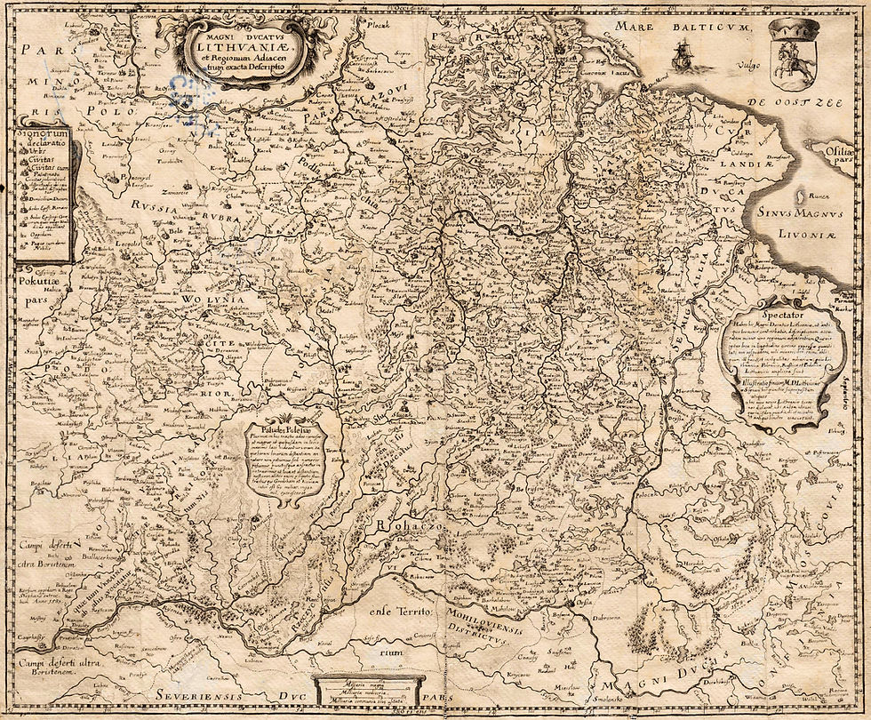
Myths About Lithuania, #3: "Lithuania Disappeared From the Map After 1795"
- kapochunas
- Mar 21, 2022
- 2 min read


1804 Dávid Pethes: "EURÓPA," Debrecen, Hungary, and a detail image showing the label "Lithvania" within "Resza" (Russia). Image: University of Debrecen, Hungary, via www.theeuropeanlibrary.org
No, Lithuania did NOT disappear from the map after the 1795 Third (and last) Partition of the Polish-Lithuanian Commonwealth. This oft-repeated statement is another catchy, but inaccurate, myth promulgated by those unfamiliar with 19th- and early 20th-century maps of Europe and the Russian Empire. While the Grand Duchy of Lithuania ceased to be a political entity after 1795, that did not mean that mapmakers suddenly forgot or ignored Lithuania's historic area. I'll show just two more examples of 19th century maps of Europe, and I'll end with Russian- and Polish-produced maps of the area, from 1796 to 1911, which continued to label the historic Lithuanian area as "Litwy" (Lithuania).


1817 William Faden (the most prominent London mapmaker and publisher of the late-18th and early-19th centuries): "Europe, Exhibiting its Principal States, &c.," and a detail image showing the vertical label on the far right: "Russian Lithuania." Image: www.DavidRumsey.com


1882 Edward Stanford (prominent British mapmaker and publisher): "Europe," and a detail image with the label "Lithuania." Image: www.DavidRumsey.com
The Russian Empire recognized the history of the area the annexed when on December 12, 1796 the short-lived Vilna and Slonim guberniyas were merged into one: Litovskaya guberniya (Rus.: Литовская г.), with Vilnius as its capital -- illustrated by the map which follows. On September 9, 1801 Litva g. was divided into the Litva-Vilna g. and the Litva-Grodno g., which lasted until 1840, when "Litva" was officially dropped from both names.

1800 A.M. Wilbrecht, "Литовскoй губерния," from his "Russian Atlas of 42 maps of 44 guberniyas," St. Petersburg, published by the "Geographic Department of the Cabinet of His Imperial Majesty [Paul I]."
Image: wikimedia
In 1890, fifty years after eliminating "Litva" from official names of provinces, and nearly 100 years after "Lithuania" supposedly disappeared from maps, Russian mapmaker Pompei Nikolaevich
Batyushkov created: "Бѣлоруссіи и Литвы" (Belorussi and Litvy) coloring in yellow the area of the former Grand Duchy of Lithuania:

1890 Batyushkov: "Бѣлоруссія и Литва." Image: the British Library, via wikicommons
Finally, a 1911 Polish-mapmaker-created map identifying guberniyas as both Lithuanian and Russian, in an area roughly represented by the boundaries of the pre-1569 Grand Duchy of Lithuania.

1911 Józef Michał Bazewicz, Warsaw : "Mapa Litwy i Rusi." image: The Wroblewski Library of the Lithuanian Academy of Sciences: www.elibrary.mab.lt/


Comments