My "Show & Tell" of a 1720 Polish-Lithuanian Commonwealth Map is Now on YouTube
- kapochunas
- Feb 10, 2023
- 1 min read
Updated: Mar 5, 2023
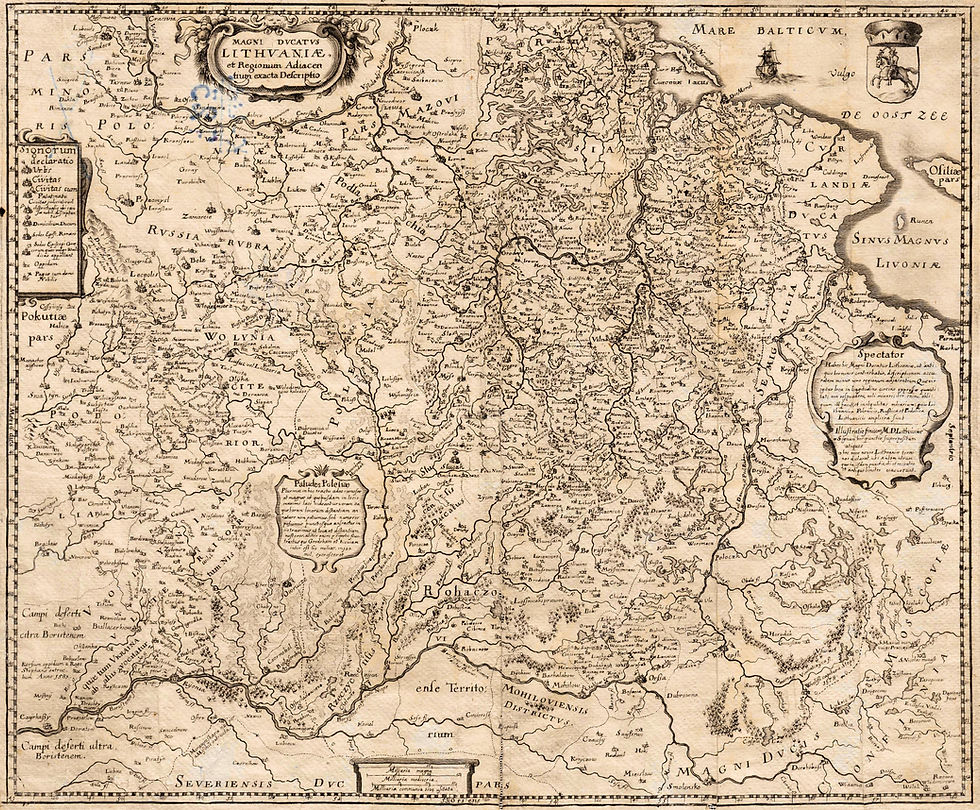
An image of my copy of this map follows:

1720 (1st Edition) Henri Abraham Chatelain (engraver after Delisle) - Nicolas Gueudeville (commentary) -
L’Honoré & Châtelain (publisher): "CARTE DE POLOGNE, AVEC LA CHRONOLOGIE DES ROIS ET DES DUCS DE LITHUANIE...Tome. 4, No. 20," Amsterdam, 20 x 24 inches/ 51 x 61 cm, from the 3rd Edition of Vol. IV of “Atlas Historique,” compiled by Zachairie Chatelain.
There are only two valid publication dates for "CARTE DE POLOGNE AVEC LA CHRONOLOGIE DES ROIS ET DES DUCS DE LITHUANIE…” because the only volumes of "Atlas Historique" with this map are the 3rd and 4th editions of Volume IV, published 1720 and 1735. My ten-minute presentation will explain how to accurately date copies of this map.


Comments