Tired of hearing Lithuania being referred to as a "Tiny" Country?
- kapochunas
- Mar 12, 2022
- 1 min read

Detail: "1444 Europe" by ratkatavobratka: https://www.visualcapitalist.com/map-of-medieval-europe-in-1444/
Today's Lithuania, at 25,200 square miles/65,300 square kilometers, is actually bigger than 73 other countries. Just a few countries smaller than Lithuania, yet rarely -- if ever -- described as "tiny": Croatia, Slovakia, Denmark, Netherlands, Switzerland, and Belgium.
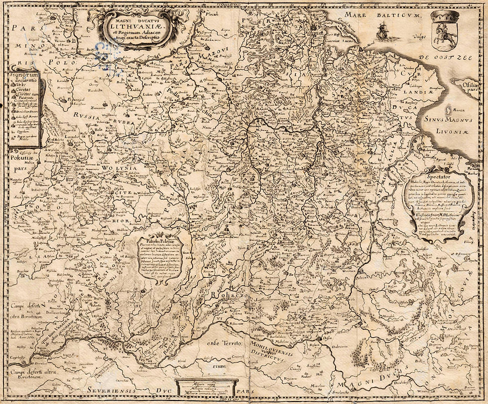
The map above shows Lithuania/Samogitia in 1444 -- 125 years before formation of the Polish-Lithuanian Commonwealth -- when it was the largest country in Europe. The map is based on the starting map of the game "Europa Universalis 4," and depicts Europe and her surroundings following the Battle of Varna in eastern Bulgaria (bottom center of the map), one of the most important battles of the Middle Ages. At the height of the battle, the horse of the leader of the Crusader army, 20-year-old King of Poland-Hungary and Grand Duke of Lithuania Władysław III Warneńczyk (Lithuanian: Vladislovas III) either fell into a trap or was stabbed, and the king was slain and beheaded by an Ottoman Turk mercenary. Neither the head nor body of the king was ever found, but today there is a named tomb nearby.

The Memorial of the Battle in Varna, built on an ancient Thracian mound tomb. Image from wikipediia


Comments