What Lithuania's Borders Might Have Been
- kapochunas
- Dec 11, 2023
- 1 min read

1920-22 "Greater Lithuania - Didžioji Lietuva," by Adomas Klimantas: https://www.mapklimantas.com/
A beautiful new map by my friend Adomas Klimantas illustrates what could have been the boundaries of Lithuania until World War II, as published in 1922 by "The Times Survey Atlas":

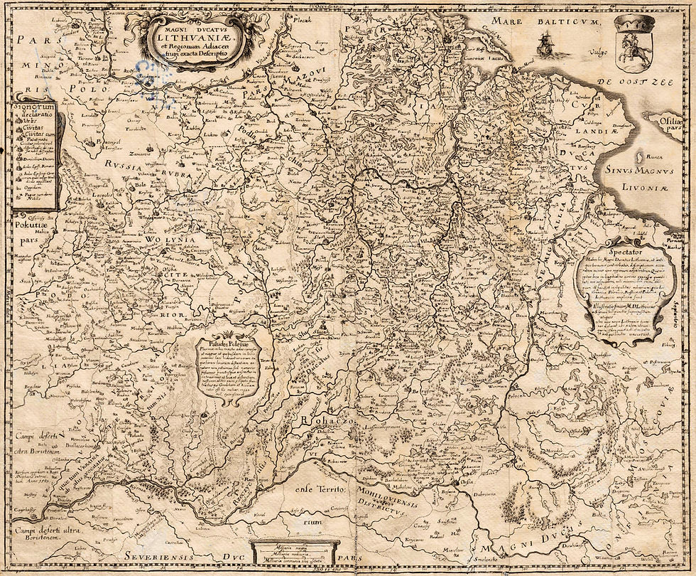
1922 (Detail) "Baltic States & East Prussia," from "The Times Survey Atlas," London, created by John Batholomew, Ltd. The dotted red line of Lithuania's eastern border with Poland was not defined. (A. Kapochunas collection)
You know from reading my July 3 blog that the US recognized Lithuania de jure (by law) July 28, 1922, four and a half years after it declared independence on February 16, 1918 -- and why: the US was hoping Russia would become a non-communist state, and that Lithuania would again be a part of it. Lithuania's de facto borders (in reality) remained in a state of flux until March 1923, when The League of Nations Conference of Ambassadors (the ambassadors of Great Britain, Italy, and Japan in Paris, and the French minister of foreign affairs) officially awarded the disputed Vilnius region to Poland. Lithuania rejected the decision and broke all relations with Poland until 1938. In the interim, railroad traffic and telegraph lines could not cross the border, and mail service was complicated: a letter from Poland to Lithuania needed to be sent to a neutral country and repackaged in a new envelope to remove any Polish markings for it to be delivered to Lithuania. (Lengyel, Emil [March 20, 1939]. "Poland and Lithuania in a Long Feud". The New York Times: p. 63)


Comments