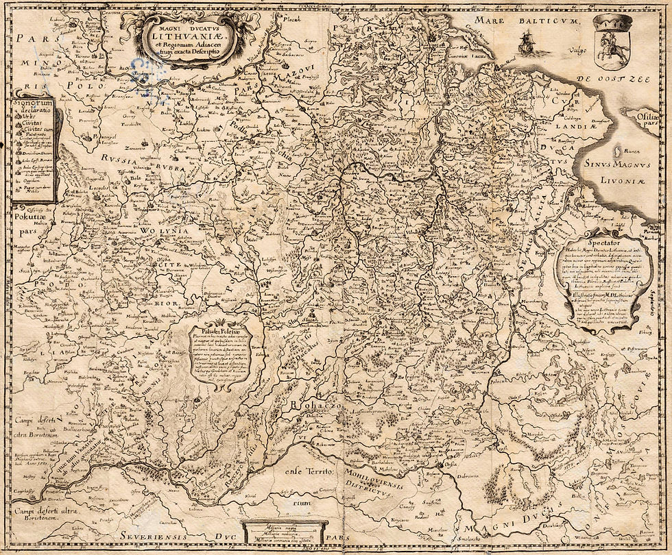
New Antique Map Not at LithunianMaps.com
- kapochunas
- Oct 18, 2021
- 2 min read

1826 (dated), Franz Müller (cartographer) - Tranquillo Mollo (Viennese publisher): “Polen nach den Letzten Friedenshlüssen nebst den angrænzenden Ländern, 1826. In Wien bey Tranquillo Mollo” (“Poland after the last peace treaties along with the neighboring countries") Image from the digital map collection at Vilnius University Library: https://kolekcijos.biblioteka.vu.lt/
At LithuanianMaps.com I have this map with a date of 1829, so the dated 1826 map is new to my sites. But the northern-most part of what was officially the Kingdom of Poland (with the Emperor of Russia the King) -- most often called Congress Poland -- has an odd shape, repeated in the 1829 map. Compare the shape of that area (which was part of the Grand Duchy of Lithuania until 1795) with that depicted in a map of the Kingdom of Poland also dated 1826, created by German engraver/geographer Daniel Sotzman, and published by Julius Colberg in Warsaw:

Detail: 1826: Sotzman - Colberg: "Augustowskiego" from "Atlas Krolestwa Polskiego"/"Atlas du Royaume de Pologne," from the National Library of Poland, via www.mapywig.org

DETAIL: 1826 Müller - Mollo: “Polen..."
Why the difference in shape of the area? Better on-the-ground survey data used by Sotzman.
Former Grand Duchy of Lithuania lands -- including Augustavas (Pol.: Augustów) and Suvalkija (Pol.: Suwałki ) -- now in New East Prussia were, in 1806, both conquered by Napoleon and overrun in the Greater Poland Uprising. The 1807 Treaty of Tilsit divided those former GDL lands, then called Belostok (Białystok) Dept., consisting of Białystok, Bielsk, Bobrz, Dombrowa, Drohiczyn, Kalwary, Lomza, Mariampol, Surasz and Wygry. All but Bialystok went to the Duchy of Warsaw, which the 1815 Congress of oland gave to "Congress Poland," and they remained in nominal Polish hands until WWI.


Comments